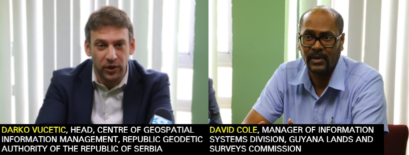
The Guyana Lands and Surveys Commission (GLSC) is partnering with the Government of the Republic of Serbia to produce a sustainable plan for a National Spatial Data Infrastructure (NSDI) and geospatial policy. This is in line with the United Nation’s Mainstreaming Sustainable Land Development and Management Project.
At a press conference today, GLSC Manager of Information Systems Division, David Cole highlighted that the Commission has held fruitful discussions with Darko Vucetic, who is the Head of the Centre of Geospatial Information Management, Republic Geodetic Authority of the Republic of Serbia.
These talks are anticipated to lead to the development of a sustainable technology-based geospatial information strategy, which Cole hopes will be completed within the next five years. He also mentioned that a geospatial information policy is currently being devised at the Cabinet level. This is important, especially with the prospect of a changing economy and Guyana’s first oil production, which is expected in 2020.
Geospatial information will also help GLSC and the government to achieve the Sustainable Development Goals (SDG), as well as, the Green State Development Strategy (GSDS) and manage the activities that are happening in all the sectors including education, business, infrastructure, health and land sectors. Cole said the GLSC can use the information gathered to solve challenges that a community or the country may face.
“The specific areas of cooperation that we are exploring currently concern helping to get support to create what we call a ‘National Spatial Data Infrastructure’, which is essentially a platform…of policies and standards and arrangements between institutions to leverage geospatial information,” he remarked.
He added that the Commission has developed a roadmap towards the finalization of such an act.
Vucetic said he is pleased to work with GLSC and the government on this venture and also pointed out the importance of such an operation. “Geospatial data is very important and can help to unlock the power of the potential of all governments around the world”.
He also said in Serbia, having leverage on geospatial data has helped to bring a swiftness in delivery and quality of services in several sectors. Services which would usually take months to complete can now be done in a matter of days and he hopes that Guyana will be on the same level soon. (Extracted from the Department of Public Information)


