Guyana’s agriculture sector is at the forefront of technological advancement, with drones and data leading the charge towards a more efficient, sustainable, and productive future for rice farming.
The Food and Agriculture Organisation (FAO) has partnered with the Guyana Rice Development Board (GRDB) to implement a pilot project aimed at enhancing rice production through the use of innovative technology.

The programme was launched last year with technical and financial support FAO- China South-South Cooperation project and a Regional E-Agriculture project.
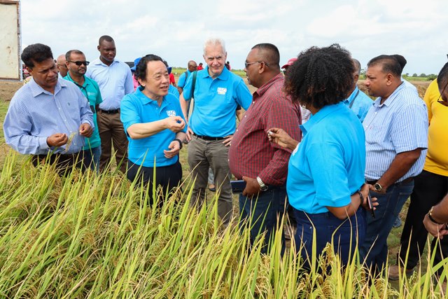
Director-General of the Food and Agriculture Organisation (FAO), Qu Dongyu on Tuesday visited the Burma Rice Research Station, Mahaicony, where he was briefed on the progress of the initiative.
The initiative provides support to small farmers using drone and geographic information system (GIS) technologies, which help to monitor rice cultivation areas and provide farmers with information to make data-driven decisions for crop management.

These farmers are receiving this instruction through the GRDB’s Farmers Field School (FFS) Programme, with a focus on those in regions two, three, and six.
Representatives from the GRDB and the Ministry of Agriculture reported that the project is moving ahead swiftly. To date, 205 farmers have been engaged.
One farmer, Joshua Tyndall, expressed that the technology provides him with a clearer understanding of any issues present in his rice fields.

“The drones fly around the fields, and they would show you whatever problem the rice has, and what you have to apply to help it. It shows you three spots: the red, the yellow and the green. The red means danger, and this tells you if you have to apply fertiliser or spray, it will show you that,” Tyndall told the Department of Public Information (DPI).
The farmer added that the technology also provides data to support land preparation.
‘You could be at home, send your drone into the fields to see what’s going on, so it helps you a lot,” he emphasised.

Another farmer, Balram Rampersaud, explained that integrating drones and GIS techniques into their operations brings a sense of relief.
“You don’t have to do as much manual labour, and you have machines so it’s easier to control the crop,” Rampersaud said.
Meanwhile, GRDB Extension Officer and Drone Pilot Trainee, Winfield Washington, also lauded the programme, noting that it aligns with Guyana’s technological transformation.

“It can give us real-time data; it can also benefit the farmer tremendously because it’s better for us to advise the farmer. It also helps with surveillance…it is tremendous for us in GRDB and the farmers in terms of the way forward, and this is the direction the country is going in,” he stated.
With the success of this pilot programme, Guyana is poised to revolutionise rice farming through the power of technology. (Department of Public Information)

